InSAR monitoring service - Inio
The service from NGI and KSAT will help you understand the ground by assessing stability from space with InSAR.
Inio is a unique service combining extensive expertise within Earth observation and geotechnical engineering providing the entire value chain from data tasking to geotechnical consulting and ensure maximum benefits from land monitoring.
It is a complete land monitoring service focused on providing maximum value to clients worldwide saving costs and mitigating risks.
About InSAR
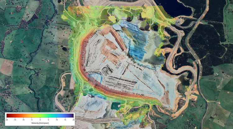
InSAR is a technique that enables observations of ground motion from space with millimeter-scale precision and assessments of ground stability and risk.
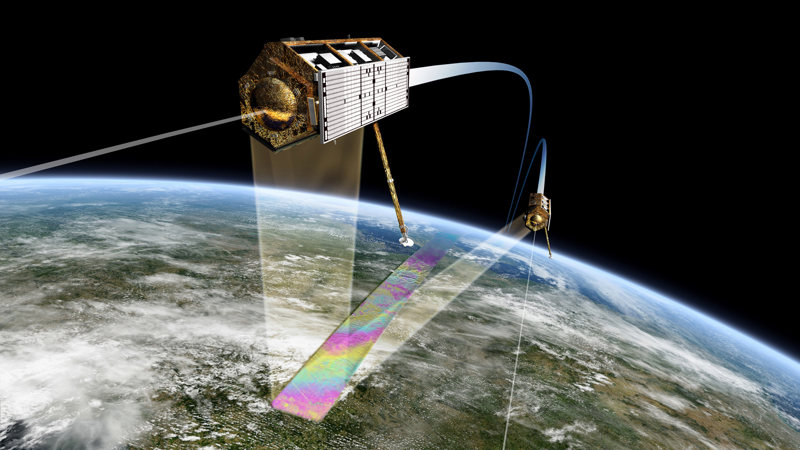
Synthetic Aperture Radar Interferometry (InSAR) is the science of extracting the phase difference in the electromagnetic radar signals. This phase difference is directly related to the motion on the ground and due to the precise orbit of the SAR satellites enables continuous monitoring of ground displacements over several years. The large footprint of the SAR signal also enables the tracking of spatial variations in movement over kilometers.
Since the end of last century, InSAR has grown from a niche to a mainstream earth observation tool with widespread applicability to diverse industries on all continents. The use of InSAR is on a rapid increase along with elevated access to satellite data and stakeholder awareness of the technology.
We behind Inio have been applying InSAR for decades and are striving for elevating the use of the technology today to help ensure not only the stability of the ground but the stability of industry operations and enhancing societal safety.
A diverse portfolio of InSAR projects
Inio delivers InSAR services globally through NGI and KSAT offices in Scandinavia, the US and Australia.
Our experience and ongoing projects and development spans a wide range of markets including mining, dams and tailings, construction projects and linear infrastructure.
Find out more about the Inio service here
Contact us here to ask about InSAR
Cover photo: InSAR is used to measure highly precise ground displacement measurement from radar satellite in space. Illustration of the orbiting tandem x-constellations. Source: www.dlr.de