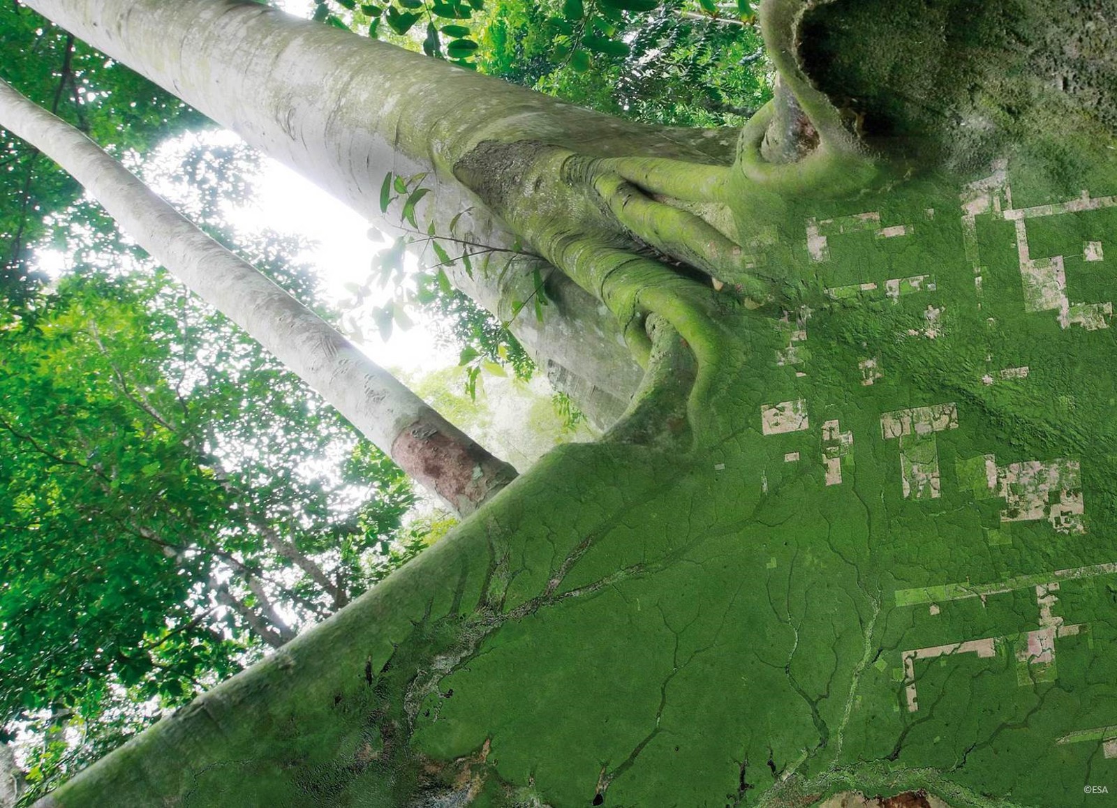
KSAT is, once again, proud to contribute to this webinar series as leader of the NICFI´s initiative which purpose is to reduce and reverse the loss of tropical forests, contributing to combating climate change, conserving biodiversity and facilitating sustainable development.
Norway’s International Climate and Forest Initiative (NICFI) is an international development fund to which Norway made a pledge with the goal to help saving the tropical forests and improve lives of those whose live quality depends on it being protected.
In 2020, NICFI signed with KSAT and its partners, Planet and Airbus, to provide a high volume of regularly updated satellite images of the tropical forests. The program has recently been extended until September 2023.
This high resolution, analysis- ready set of satellite images is freely accessible to anyone willing to make a use of it, as long as the purpose is in line with the initiative goals and not for the financial gain.
So far, the NICFI Satellite Data Program has registered over 14,000 users from 155 countries with the meaningful results reported from all over the world including Africa, Brazil, Lao People’s Democratic Republic and Colombia.
You can take part by signing up on the GFOI website:
Global Forest Observations Initiative: High-resolution-for-tropical-forests-2.0 (fao.org)
Read more about NICFI: NICFI – Norway's International Climate and Forest Initiative (NICFI)
Read more about NICFI Satellite Data Program: NICFI Tropical Forest Program
Webinar agenda
Moderators: Tom Harvey, GFOI Office (English), Inge Jonckheere, FAO (French) and Sylvia Wilson, USGS (Spanish).
- Welcome remarks (NICFI) – 5 mins
- Data availability and uptake (KSAT/Planet) – 10 mins
- Country case studies – 10 mins each
- English session (6th September): Cambodia and Ethiopia representatives
- French (7th September): CAFI project representatives
- Spanish (8th September): Peru and Mexico representatives
- Training and capacity building support – 10 mins
- Q&A (all)
