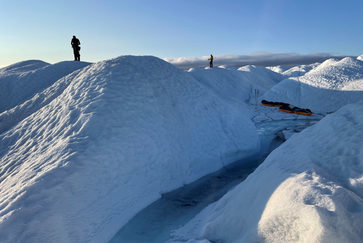
Imagine standing in the middle of nowhere. The landscape is rugged and the ground beneath you is covered in ice. In each direction you turn the only thing you can see is a frozen, white scenery.
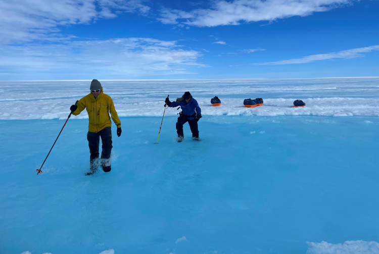
Now add to the fact that the ice is melting, and the water is up to your ankles. You’re cold and wet. Initially you were supposed to follow a pre-planned route to get from point a to point B, but deglaciation and exposed crevasses is for each second making this to an impossible maze to navigate through.
And standing there dressed in heavy winter equipment you realize: “I’m stuck, now what?”.
That’s exactly what a group of adventurers from Ousland Explorers experienced – and this is how they managed to get out safely with the help of KSAT and satellite images.

Unusual season with warm temperatures
Lars Ebbesen works at Ousland Explorers and coordinated the group from Norway. He says that the 2021 season has been very unusual:
– Normally we have temperatures towards -35 degree Celsius, but this year it has been barely -4 degree Celsius. This led to severe deglaciation that changed the landscape, which in turn made the navigation nearly impossible. This slowed down the progress tremendously and became a safety issue for the group.
Ebbesen says that the fall is one of the toughest seasons to cross the Greenland Ice Sheet, as the days are getting darker, and the storms are getting worse. You may find yourself balancing between deglaciation and the beginning of winter.
On top of that the crevasses are exposed and oppose a dangerous threat to everyone in the area.
And as the group were exploring the inhospitable area with just their feet pulling pulks with equipment, they suddenly stood in what appeared to be a gigantic maze.
The ice was melting fast. Within a few days the surroundings got more and more covered in water and there were crevasses nearly everywhere, the meting water formes small creeks. In which direction where they supposed to go without risking their own safety?

KSAT to the rescue
As the group from Ousland Explorers were stuck on the melting surface, expert analyst Jon Christian Richards in the Earth Observation team at KSAT got a call.
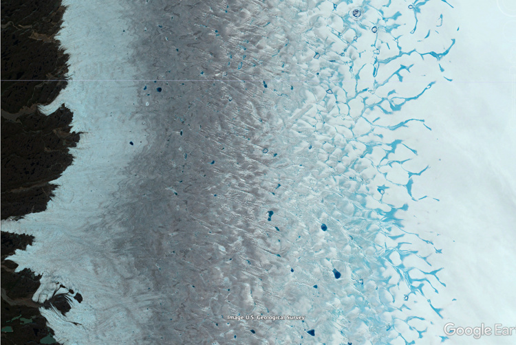
Ebbesen from Ousland Explorers contacted Richards to ask if KSAT could assist them with updated satellite imagery of the area so they could navigate from above with updated images.
– I knew that this would have such a huge value for them, so I never hesitated and made this a priority. We supplied them with freshly updated images of the area so they could get safely out of there, says Jon Christian Richards at KSAT.

Ebbesen says that satellite imagery provided by KSAT turned out to be crucial:
– Luckily KSAT came to our rescue. They got us updated satellite imagery of the area, and with these images we could provide our team on the ice with fresh intel of where and how to navigate.
Wet adventure
Ebbesen explains that the last 60 to 80 kilometers of the expedition were tough. There was a lot of hard work as the group had to cross rivers by wading and walk on thin ice, he says.
– In areas where you could spend several hours on just a few kilometers, if you then go a few hundred meters in the wrong direction, you could end up being stuck, so the satellite imagery turned out to be crucial, says Ebbesen.
By being patient and taking advantage of the satellite imagery, the group ended up getting through the hostile environment of the Greenland Ice Sheet safely.

Lars Ebbesen concludes it all:
– It was a wet, but great adventure for the group.
And after 25 days of adventure, they put up the camp on the ice for one last night. Exhausted and wet, with clothes that froze up, it was an emotional ending for the group.
