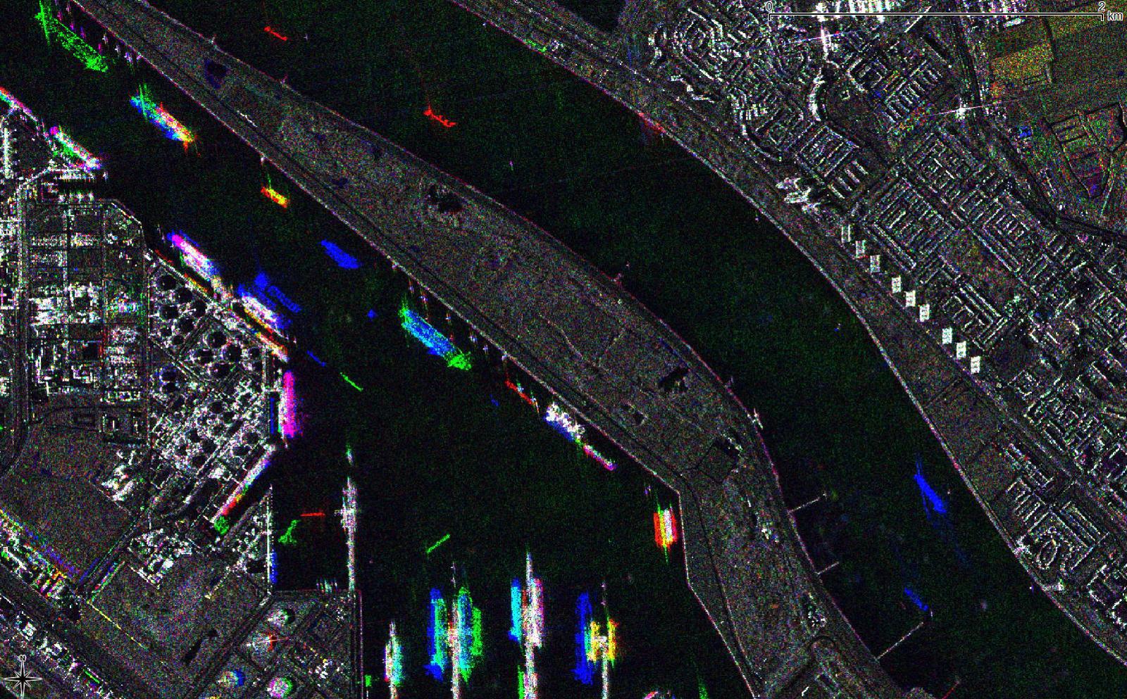
Machine Learning (ML) is enabling previously inconceivable levels of image analysis automation for whoever has data of sufficient quality and quantity. Due to KSAT having more than 20 years of history in providing operational maritime monitoring services using Synthetic Aperture Radar (SAR) imagery, KSAT has the most extensive data archives available for training the model.
Building a Machine Learning team
We are investing great time and effort into curating and refining these archives into a potent data warehouse, as we believe this to be pivotal in unlocking the potential of machine learning at KSAT.
– Our job is to give the customers maritime situational awareness through the work of an expert or through a classical algorithm – or a machine learning model. The model can teach itself to replicate how our operators have historically taken satellite images as input and provided summaries of the vessels in those images as output, system developer Torgeir Brenn at KSAT explains.
Coupled with the availability of free data from the Copernicus Sentinel mission, we envision a near-term future with distinct service levels, from massive amounts of free data with fully automated Deep Learning analysis, to high resolution imagery assessed by experts. And of course, continuing to push the limits when it comes to timeliness.
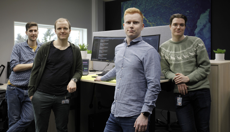
It may seem complicated, but it’s applied mathematics, statistics, physics and system development. Now KSAT has formed a dedicated team of four programming experts that will explore the possibilities further, and make sure the customer gets the best service when they need it.
– The services have several levels. If you want the quantity that more data gives you, you can stick to machine learning. However, a human expert may be what gives you the absolute certainty, Torgeir Brenn says. He’s leading the dedicated team of four.

Customer demand increasing
The first delivery was last year. In the summer months, the pilot model for detecting objects at sea and discriminating icebergs from vessels helped the Norwegian Coastal Administration monitor the area around Svalbard, where the combination of expeditionary cruises with thousands of passengers, icebergs, and limited rescue resources has been identified as high risk.
– That delivery truly embodied the mentality “if we can do it here, we can do it anywhere”, as ice monitoring is a notoriously difficult task within SAR maritime surveillance, Brenn says, and adds:
– Now the customer demand is increasing, it’s certainly trending. We are eagerly optimistic about the prospects of automating large parts of our services, both delivering human out-of-the-loop services and empowering our experts to deliver KSAT’s world class manual analysis with increased speed and efficiency.
Dependent on experts too
Implementing these models in a way which satisfies our commitment to quality and reliability means that “just” training a good model and putting it into production does not suffice. It requires a systematic approach to machine learning operations (MLOps), integrating data and machine learning models into the continuous integration and delivery cycles of the DevOps workflow, relying on our top earth observation experts for assessment and MLOps best practices for reliability, stability, and scalability.
– The model can never exceed the capability or accuracy of the expert services provided by our operators. They are the ones that make the machine learned models more accurate, as the models will always replicate what they do. But we also know that good algorithms enable the operators to work faster and hence analyse more images. So this is a symbiotic relationship, Torgeir Brenn says.
Contributing to the fight against IUU fishing
Today Illegal, unregulated, and unreported (IUU) fishing causes an estimated annual economic loss of US$26-US$50 billion due to illicit trading of unreported catches of 8 to 14 million metric tons. Other nefarious maritime activities include illegal transshipment to circumvent international sanctions and various encroachments of state sovereignty.
These actors typically disable or manipulate the mandatory Automatic Identification System (AIS) messages, but they can still be detected in satellite images. Therefore, Earth Observation imagery is an essential contribution in the international efforts to combat this, and KSAT as the world leading provider of EO services, plays a significant role historically as well as in the future.
