KSAT Ice Monitoring
Monitoring sea-ice from space. KSAT’s semi-automatic iceberg detection and classification service uses machine learning for rapid access to actionable information that increases safety and reduces risk.
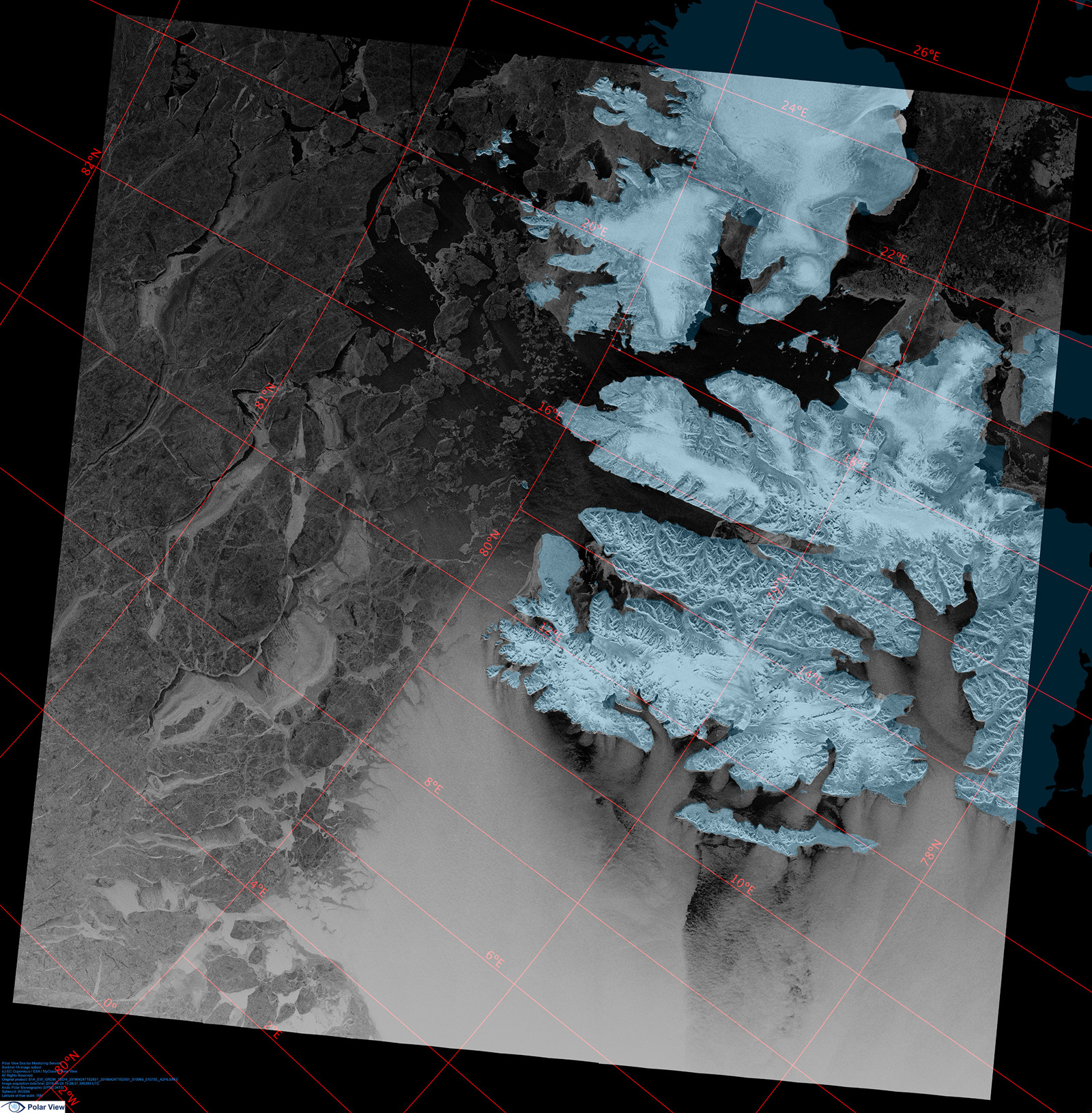
Synthetic Aperture Radar (SAR) and optical imagery from polar orbiting satellites can provide valuable information about sea ice and the presence of icebergs.
With its ability to acquire imagery through clouds and darkness, SAR satellites have been used to map global sea ice for more than 40 years.
KSAT has agreements to provide imagery from all commercially available SAR satellites suitable to sea ice monitoring. Having access to these satellites enables us to provide multiple imaging opportunities and high spatial coverage and temporal frequency.
The KSAT Order Desk provides rapid tasking capabilities and acquisition planning with near real-time delivery facilitated by the KSAT global ground station network and in-house imagery processing.
In addition to sea ice monitoring, KSAT offers a semi-automatic iceberg detection and classification service based on machine learning techniques. It provides rapid access to actionable information that can increase safety and reduce risk for vessels navigating in or near the ice.
For efficient ordering of satellite imagery in ice management operations, KSAT provides access to satellite tasking information such as potential temporal and spatial coverage, tasking deadlines and order status. In addition, we give users fast access to relevant data immediately after satellite acquisition.
Sea ice information extracted from satellite imagery can be used together with complementary data, such as weather and ice information extracted from external sources.
-
Up-to-date satellite information
-
Near real-time delivery
-
Decision-making support
-
Facilitating safe operations


